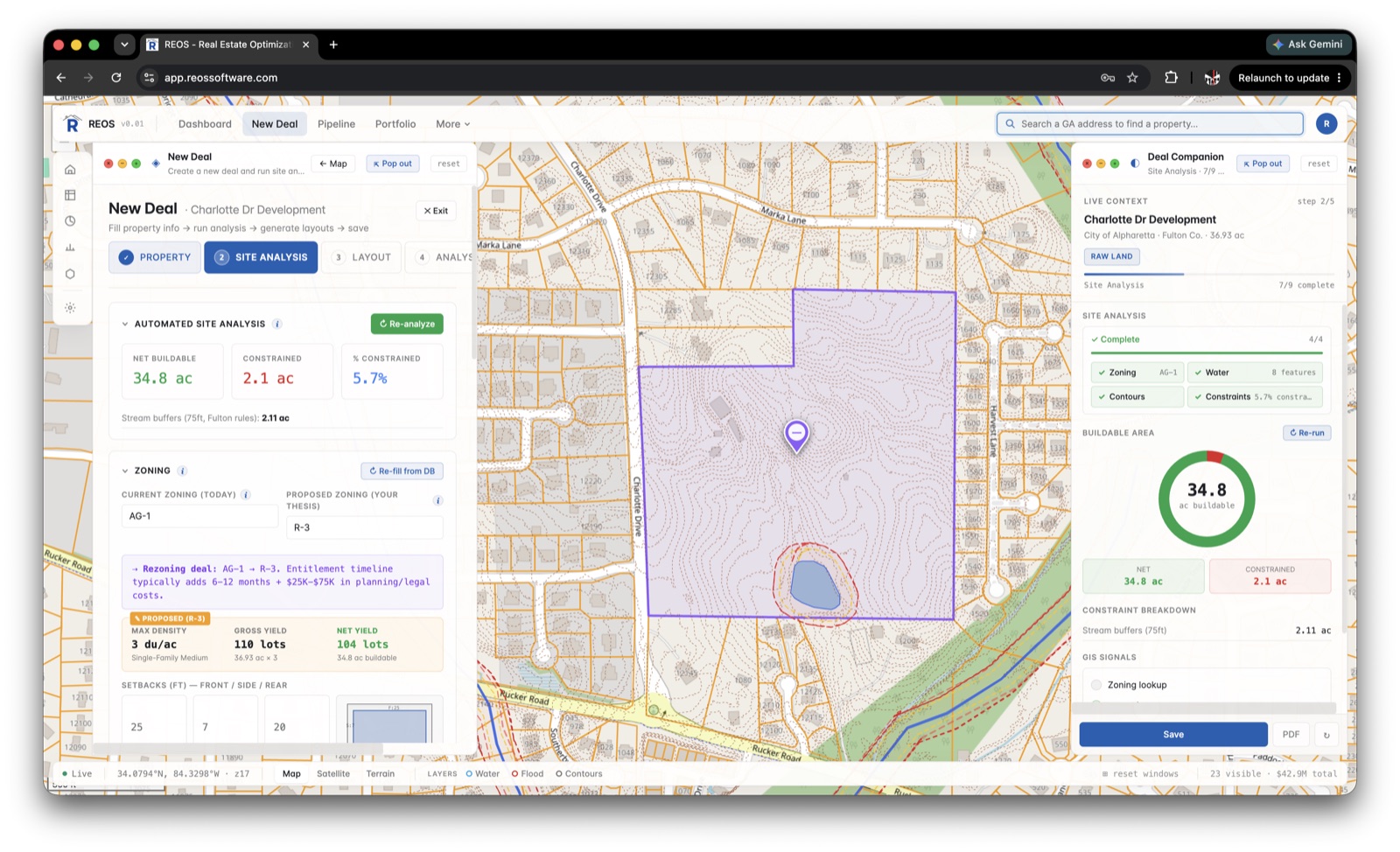
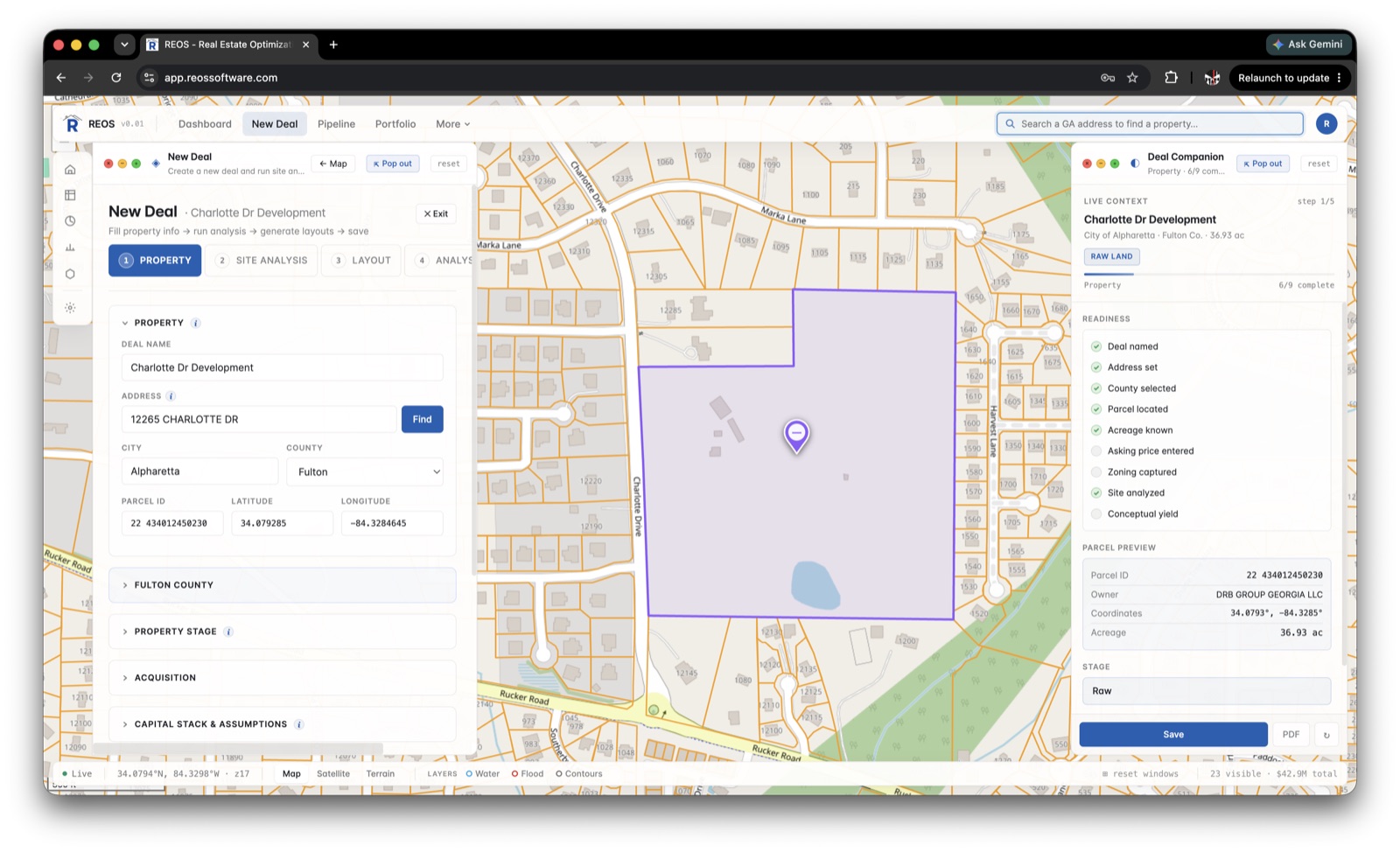
Net buildable area, the moment you drop a pin.
REOS maps wetlands, flood zones, soils, slopes, and utility distances — then nets out the unbuildable acreage from your county's actual buffer rules, recalculating instantly as inputs change.
- ✓ Auto zoning, overlays, terrain & utilities
- ✓ Wetland, flood & slope buffers applied per county
- ✓ Net buildable acreage & yield in seconds
Deal math that updates faster than you change your mind.
Per-product cost overrides, sensitivity sweeps, and an A–F risk grade built on absorption, cost, and product-market fit. Every assumption editable — no hidden macros.
See it underwrite a deal →Read the market before you bid.
County-level absorption, supply, and price trends — with an AI-assisted summary of the read.
- ✓ Absorption, months-of-supply & YoY price movement
- ✓ A market summary you can drop into a deck
- ✓ Georgia counties, with more on the way
Your land development plan, next to the plat.
Conditions, revisions, and county turns logged with timestamps — so nothing slips between submittal and approval, and you always know what's blocking the deal.
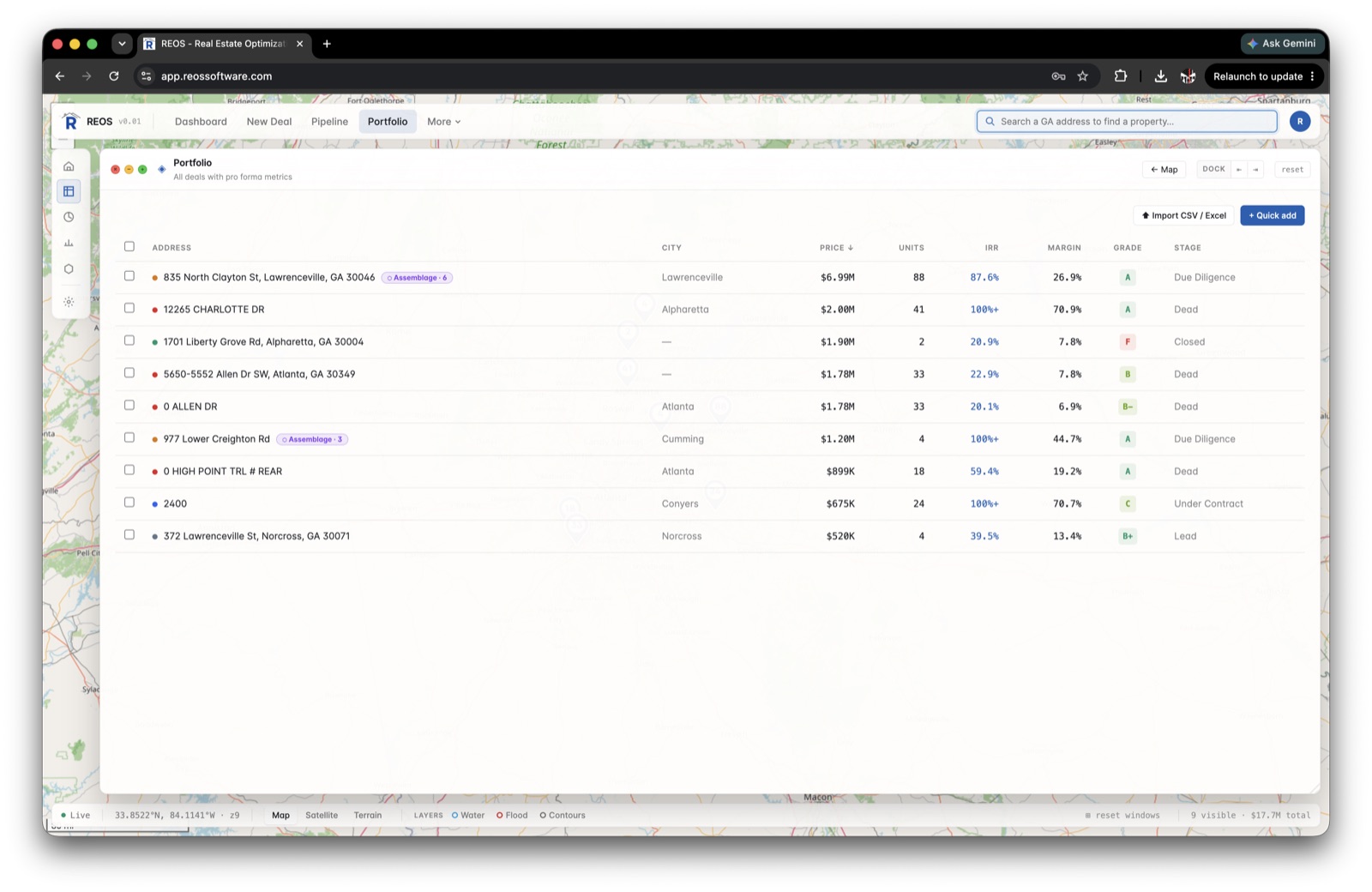
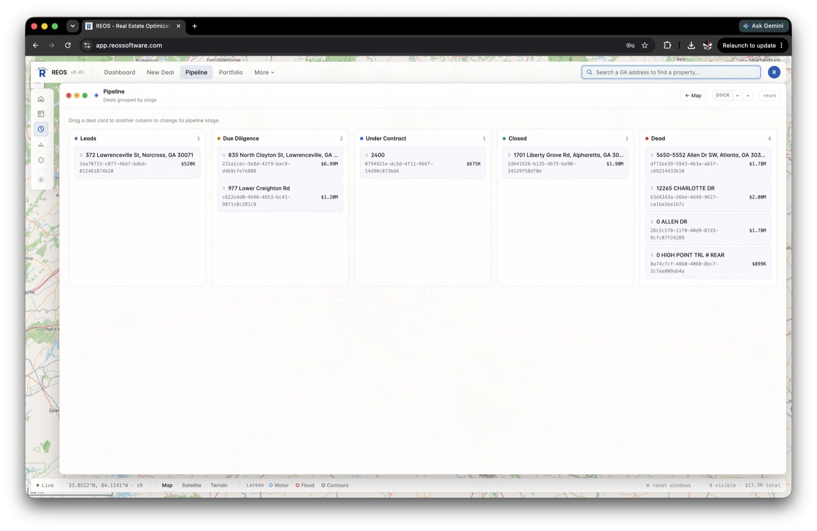
Every deal, on a board and a map.
From first call to closing — filter by county, product, stage, or risk grade, and roll the whole book up to lots, capital deployed, and blended return.